
PrashantNews
Researchers at the Indian Institute of Technology (IIT) Roorkee have released INDRA-CMIP6, a high-resolution open-access climate projection dataset for the Indian subcontinent that provides daily rainfall and temperature projections at nearly 10 km spatial resolution across historical and future climate scenarios.
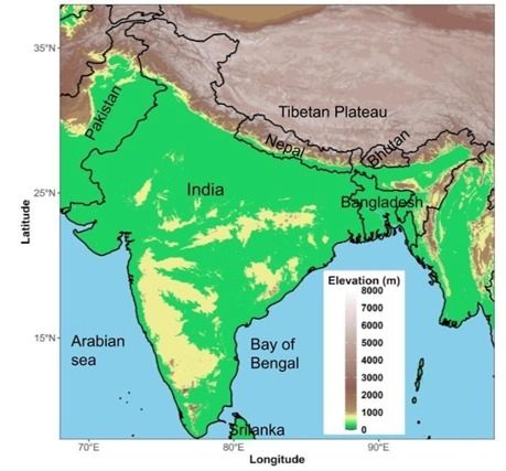
Developed to support local-scale climate adaptation and risk assessment, the dataset addresses a major limitation of global climate models, whose coarse resolution often fails to capture India’s complex terrain, monsoon variability, and regional climate extremes.
India is already experiencing the impacts of a changing climate, including rising temperatures, erratic monsoons, urban flooding, heat stress on workers and crops, and increased pressure on water resources. Adaptation decisions, such as strengthening embankments, planning urban drainage systems, or selecting climate-resilient crops, require projections at district and river-basin scales rather than continental averages.
Developed at the Department of Hydrology, Indian Institute of Technology Roorkee, and published in Scientific Data (Nature Portfolio), INDRA-CMIP6 downscales outputs from 14 CMIP6 global climate models using the Double Bias-Corrected Constructed Analogue (DBCCA) method. This statistical downscaling approach improves the representation of daily weather variability, regional rainfall patterns, and temperature extremes.
The dataset provides daily precipitation and minimum and maximum temperature data at 0.1° × 0.1° resolution. It includes both individual model outputs and a multi-model ensemble, enabling researchers and planners to compare projections and assess uncertainty rather than rely on a single model pathway.
Technical validation shows that INDRA-CMIP6 substantially reduces the systematic errors in raw global climate model outputs and improves the representation of extreme rainfall and extreme temperature days. These improvements matter most where local geography, monsoon dynamics, and topography drive risk, precisely the conditions that define the Indian subcontinent.