
 By Shishir Prashant
PrashantNews
The World Meteorological Organization (WMO) on Wednesday released a new seasonal climate outlook which indicates that the current El Niño event could be unprecedented in strength.
The Global Seasonal Climate Update forecasts that sea surface temperatures in the tropical Pacific – the epicentre of El Niño – may rise to 3.8°C above average during November 2026 to January 2027. WMO declares an El Niño when the sea surface temperature anomaly in this region is 0.5 °C.
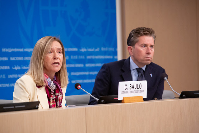
“This is literally off the monitoring charts that we have used for the past four decades. El Niño will peak towards the end of 2026 but its impacts will be felt long after that,” WMO Secretary-General Celeste Saulo said.
A very strong El Niño disrupts normal temperature and rainfall patterns across many regions. It can bring severe drought to some regions, heavy rainfall and flooding to others, and increased heat across large parts of the world. We are already witnessing extreme weather events and expect these to multiply – and cascade – as El Niño intensifies.
“But a powerful El Niño does not have to be a recipe for humanitarian disaster. We have the science, the forecasts and the early warning systems to save lives and protect livelihoods. What we need now is decisive action, especially to protect the most vulnerable communities,” Celeste Saulo told a joint press conference with Tom Fletcher, UN Under-Secretary-General for Humanitarian Affairs and Emergency Relief Coordinator.
The window for preparedness is still open in many regions. Extreme weather conditions do not need to translate into humanitarian emergencies or into casualties. But this window will not remain open indefinitely. WMO’s priority is to provide science-based information to assist governments and humanitarian organizations anticipate risks, prepare operations and protect vulnerable populations.
The seasonal outlook predicts:
East Africa: Wetter-than-normal conditions are more likely in parts of the region during the October–December rainy season, increasing concerns about heavy rainfall and flooding.
Southern Africa: Increased risks of drier conditions could affect crop production, water availability and livelihoods from November (the typical start of the rainy season).
Southeast Asia: Warmer conditions and rainfall deficits increase the risk of heat exposure and place additional pressure on agriculture and water supplies, like the increase in wildfire and smoke-haze risks we are already seeing.
The Americas: increased rainfall in Northwest US and southern parts of western South America. North America and the northern portion of the Caribbean is also expected to face above normal precipitation. In turn, there is increased drought risk in parts of Central America, the southern Caribbean and the Amazon.
These are seasonal outlooks, not predictions of individual events. Regional and national forecasts are thus essential to identify where and when action is needed.